In a world where borders shape cultures and geography influences economies, having a grasp of global geography can offer a deeper understanding of our planet and its diverse inhabitants. Yet, many basic facts about global geography remain unknown to most of us, hidden beneath the layers of maps and atlases. Here, we uncover 15 intriguing geographical facts that might just change the way you view the world.
1. Russia Is Bigger Than Pluto
You might know Russia as the largest country in the world, but did you know it’s so vast that it surpasses former planet Pluto in size? Russia stretches over 17 million square kilometers, making its landmass larger than the surface area of Pluto, which comes in at roughly 16.6 million square kilometers. This fact might make you reconsider just how expansive our planet can be in comparison to the celestial bodies we often think of as enormous. It’s a reminder of the sheer scale of Earth’s geography and how it sometimes eclipses what we see in the sky.
According to NASA’s planetary science division, these astonishing comparisons help illustrate the complexity of measuring land and planetary bodies. Pluto, once considered the ninth planet, has long captured our imagination, but it’s the vastness of Earth-bound regions like Russia that truly underscores the diversity of our planet. Next time you’re looking at a map, consider the enormity of what you’re seeing. It’s not just a country; it’s a landmass rivaling an entire celestial body.
2. More People Live in Tokyo Than in Canada
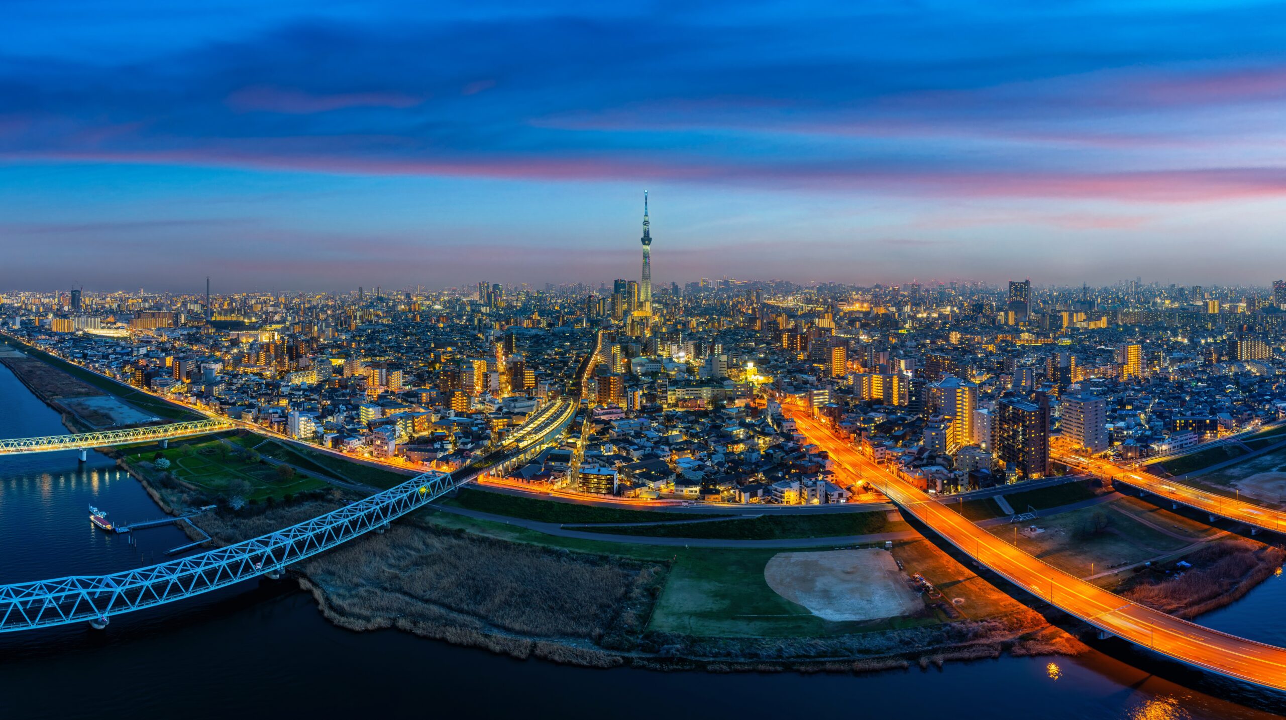
When you think of densely populated areas, Tokyo may come to mind immediately. But did you realize that Tokyo’s population surpasses that of an entire country like Canada? Tokyo’s metropolitan area is home to over 37 million people, a staggering number when you consider Canada’s population hovers around 38 million. This comparison demonstrates not only the density of urban areas but also how population distribution varies greatly across the globe.
Living in a bustling city like Tokyo comes with its own set of challenges, such as housing and infrastructure needs. Meanwhile, Canada, with its vast landscapes, faces different issues like providing services across wide, sparsely populated areas. Both regions showcase the unique challenges that come with managing populations, whether densely packed or widely dispersed. It’s a fascinating look at how geography shapes human settlement patterns in diverse ways.
3. The Amazon River Once Flowed in the Opposite Direction
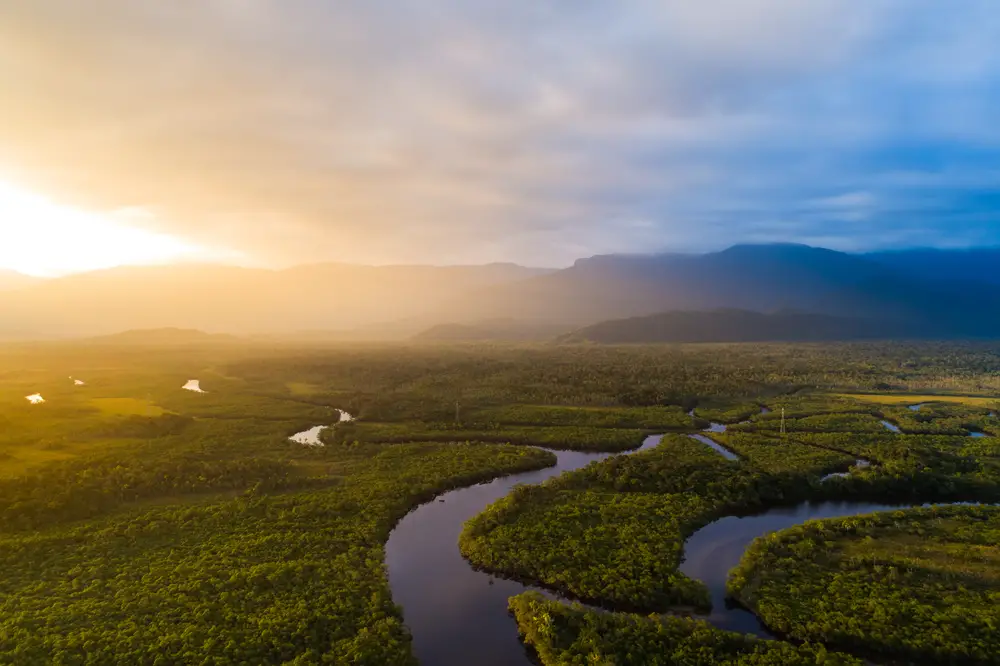
The mighty Amazon River, known for its vast biodiversity and incredible length, once flowed in the opposite direction. Before the rise of the Andes mountains, the river’s waters traveled east to west, emptying into the Pacific Ocean. The uplift of the Andes reversed its course, sending the river flowing eastward to the Atlantic, which is the direction it runs today. This ancient rerouting is a testament to the dynamic nature of Earth’s geological processes.
According to research published in the journal *Geology*, this significant shift occurred over millions of years due to tectonic activity. The Andes mountains acted as a natural dam, forcing the Amazon’s waters to find a new path. Understanding these changes offers insight into how our planet has been shaped over time and how geography is far from static. The Amazon’s history reminds us that even the grandest natural features have complex, evolving stories.
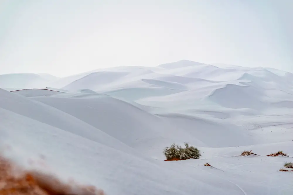
4. Antarctica Is the Largest Desert in the World
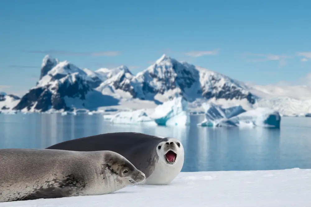
When you think of deserts, your mind might automatically jump to endless sands and scorching sun. However, the largest desert in the world is actually the cold, icy expanse of Antarctica. Deserts are defined by their dryness, and Antarctica receives less than 50 millimeters of precipitation annually, classifying it as a desert. Its vast frozen landscapes challenge our conventional understanding of what a desert can be.
Despite its harsh conditions, Antarctica harbors ecosystems that have adapted to survive in extreme cold. Scientists study these unique life forms to understand resilience and adaptability better. The continent also plays a critical role in global climate patterns, acting as a natural laboratory for researchers. So the next time you picture a desert, remember that they aren’t all hot and sandy; some are icy and cold.
5. Mount Everest Is Not the Tallest Mountain
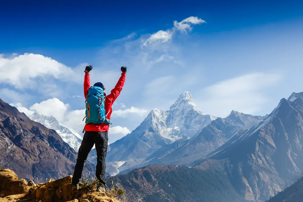
Mount Everest is famed for being the tallest mountain in the world, but there’s a catch. While Everest has the highest altitude above sea level, it isn’t the tallest mountain when measured from base to peak. That title belongs to Mauna Kea in Hawaii, which rises over 10,000 meters from its oceanic base, far surpassing Everest’s 8,848 meters. This distinction often surprises people who only consider elevation above sea level when ranking mountains.
According to the United States Geological Survey, Mauna Kea is a dormant volcano whose base starts far below the ocean surface. Once you add its submerged section to the measurement, it’s clear why it’s considered taller than Everest. This fact emphasizes how measurements can change our understanding of natural wonders. It’s a fascinating reminder that the tallest structures aren’t always what they seem at first glance.
6. Monaco Is Smaller Than Central Park

The tiny principality of Monaco is famous for its luxury, wealth, and glamorous events like the Monaco Grand Prix. Yet, despite its global reputation, Monaco is smaller than New York City’s Central Park. Covering only 2.02 square kilometers, the entire country could comfortably fit within the boundaries of the 3.41-square-kilometer park. Monaco’s size is a testament to how small spaces can still have a significant impact on the world stage.
In this tiny area, over 38,000 residents live, making Monaco one of the most densely populated countries on the planet. Its economy thrives on tourism, banking, and real estate, attracting people from around the globe. Monaco showcases how strategic geographic positioning and effective use of space can lead to prosperity. It’s an example of how size isn’t always a determinant of influence or success.
7. Africa Is Home to the Most Linguistically Diverse Country
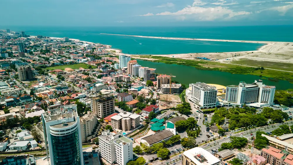
Papua New Guinea often gets credited for its linguistic diversity, but the African continent holds a surprising contender: Nigeria. Nigeria is home to over 500 languages, making it one of the most linguistically diverse countries in the world. This diversity reflects the complex tapestry of cultures and ethnic groups that have settled in the region over centuries. It’s an eye-opener to how languages evolve and coexist in close proximity.
A study by the Linguistic Society of America highlights Nigeria’s unique linguistic landscape as a result of historical migrations and trade routes. The country’s multitude of languages adds layers to its cultural identity, influencing literature, music, and daily life. Nigeria’s linguistic richness demonstrates the role language plays in shaping cultural narratives and social dynamics. It’s an essential part of what makes the country so vibrant and multifaceted.
8. The Deepest Point on Earth Is in the Pacific Ocean

While Everest reaches for the sky, the opposite extreme lies deep beneath the Pacific Ocean. The Mariana Trench, specifically the Challenger Deep, holds the title for the deepest known point on Earth’s seabed. Plunging nearly 11,000 meters into the ocean, this trench remains one of the most mysterious places on Earth. It’s a region where sunlight doesn’t penetrate, and pressure conditions are beyond human survival without specialized equipment.
Despite its inaccessibility, the trench is a hotspot for scientific research. Explorations have revealed unique species adapted to high-pressure conditions, contributing valuable insights into biodiversity and evolution. The trench exemplifies Earth’s hidden depths and the uncharted territories that still await discovery. As technology advances, who knows what further wonders might be uncovered in this enigmatic part of our planet?
9. Europe Is Technically Bigger Than Australia
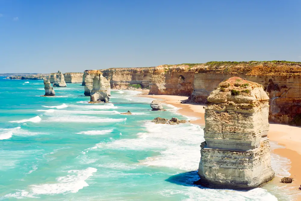
When you look at a globe, Australia might seem like a sprawling continent compared to Europe. However, in terms of land area, Europe actually edges out Australia, covering about 10 million square kilometers compared to Australia’s 7.7 million. This might be surprising considering Australia’s unified landmass versus Europe’s fragmented nations. It’s a classic example of how perceptions can be skewed by map projections.
Europe’s size includes numerous countries, each with its own unique culture and history. This patchwork of nations results in a rich diversity within a relatively small space. It showcases how geography can influence cultural development and international relationships. So next time you think of Australia as a vast land, remember that Europe has its own expansive claim to fame, spread across many borders.
10. The Sahara Desert Is Expanding
The Sahara, the world’s largest hot desert, is growing. Due to climate change and human activities, its boundaries are slowly creeping into more habitable regions. This expansion impacts agriculture and living conditions for millions of people residing near its edges. Understanding the dynamics of this growth is crucial for formulating effective environmental and humanitarian strategies.
Efforts to combat desertification include reforestation projects and sustainable land management practices. Communities are adapting with innovative farming techniques and water conservation methods. The Sahara’s expansion highlights the interconnectedness of environmental and human systems. It’s a modern reminder of how geography is not static but constantly evolving.
11. Greenland Is Not as Green as You Think
Despite its name, Greenland is not a green paradise. The island is largely covered by ice and snow, making it one of the most frigid places on Earth. The name “Greenland” is attributed to Erik the Red, an explorer who allegedly named it to attract settlers, despite its icy terrain. This historical marketing tactic points to how geographical names can sometimes be misleading.
Today, Greenland is at the forefront of discussions about climate change due to melting ice sheets. Scientists are closely monitoring these changes, as they have global implications for sea-level rise. Greenland serves as a real-world example of how geographical misconceptions can contrast sharply with reality. It’s a stark reminder of the environmental challenges facing our planet.
12. Chile Stretches Across Multiple Climate Zones
Chile, with its slender shape stretching along South America’s western edge, encompasses a range of climate zones from deserts to glaciers. The country’s unique geography means you can experience diverse climates all in one place. From the arid Atacama Desert in the north to the icy landscapes of Patagonia in the south, Chile’s terrains provide a stunning array of natural wonders. This geographical diversity is a draw for tourists and scientists alike.
The varying climates within Chile influence its economy, agriculture, and biodiversity. The country’s extensive coastline and mountainous regions create microclimates that support different flora and fauna. Chile’s geographical diversity also presents challenges, such as managing water resources and conserving unique ecosystems. It’s a testament to how a nation’s geography can shape its identity and opportunities.
13. The Nile River Flows North
Unlike most rivers, which flow from north to south, the Nile defies convention by flowing northward. Originating in the highlands of East Africa, it traverses the continent for approximately 6,650 kilometers before emptying into the Mediterranean Sea. This unusual flow direction has been critical in shaping the civilizations that have flourished along its banks. The river’s predictable flooding cycle supported agriculture, giving rise to ancient Egypt, one of history’s most famed civilizations.
The Nile’s northward flow is dictated by the topography of the land it traverses. Its journey through diverse ecosystems supports a wide range of wildlife and communities. Understanding the Nile’s flow offers insights into how natural features can shape human history and development. The river remains a vital resource, sustaining millions of people and serving as a symbol of life in the arid regions it passes through.
14. The Great Wall of China Is Not Visible from Space
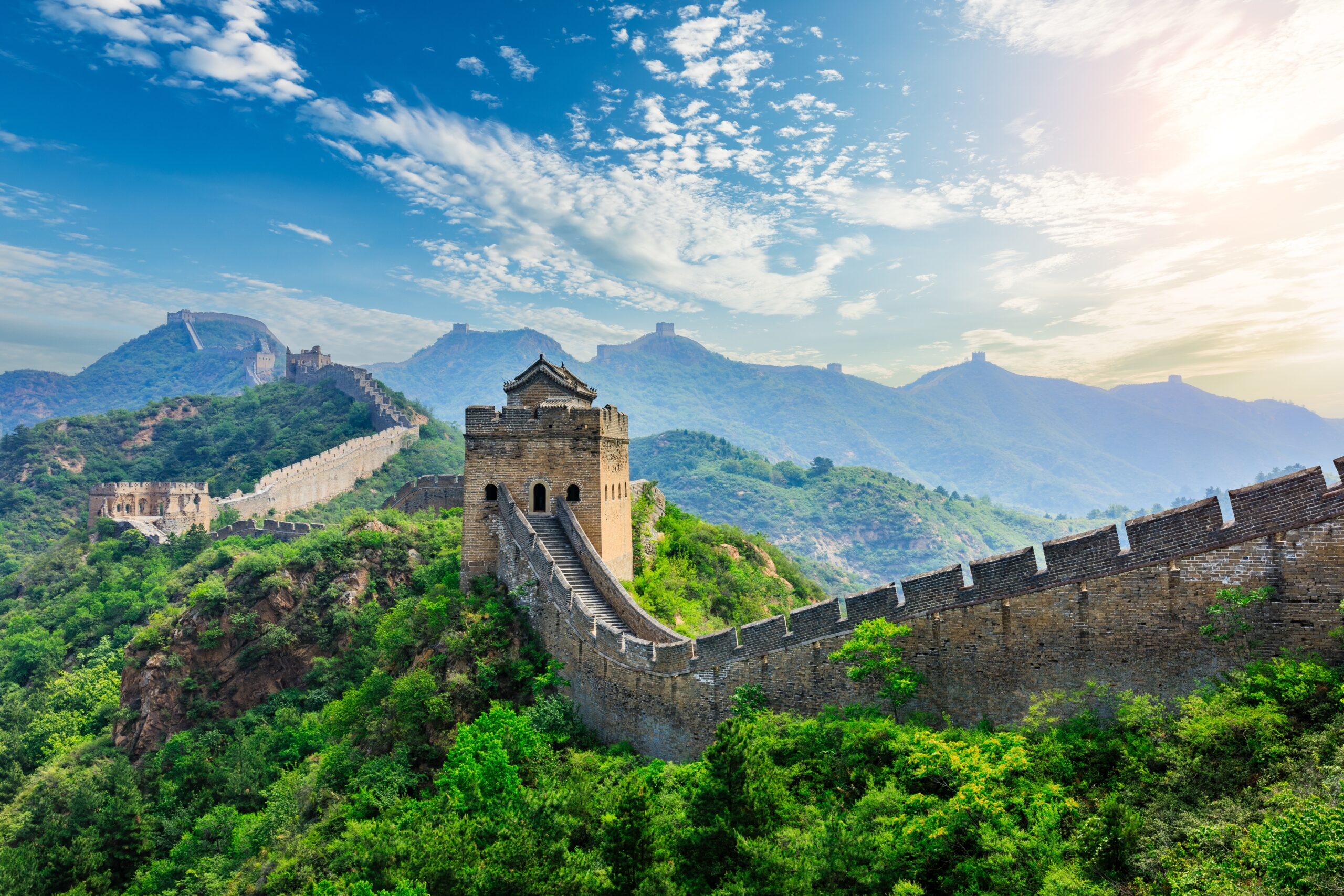
There’s a popular myth that the Great Wall of China is the only man-made structure visible from space. However, this isn’t true; the wall is challenging to discern even in low Earth orbit without aid. Its materials and colors blend with the natural landscape, making it difficult to spot. This misconception shows how cultural narratives can sometimes overshadow factual geography.
Astronauts report that city lights and large bodies of water are more easily visible from space than the Great Wall. This fact underscores the limits of human perception when viewing Earth from afar. It serves as a reminder that not everything legendary holds up under scrutiny. The Great Wall’s true marvel lies not in space visibility but in its historical significance and engineering achievement.
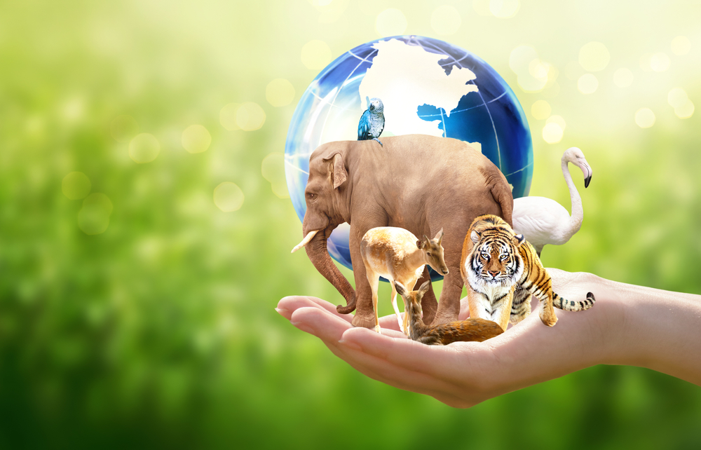
15. Asia Holds the World’s Most Diverse Ecosystem
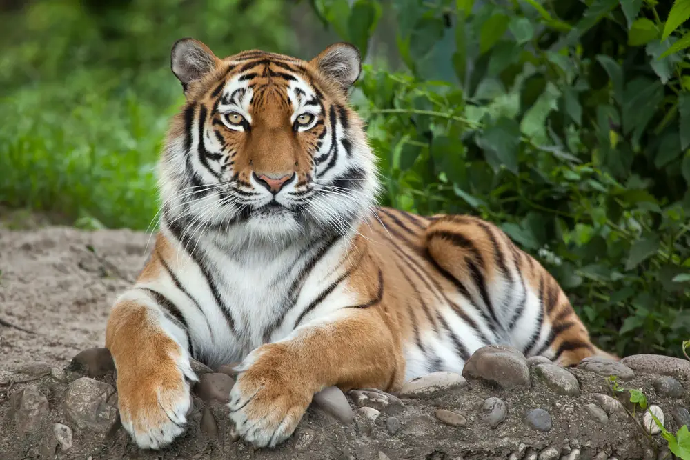
Asia, the largest continent, is home to an incredible variety of ecosystems, from tropical rainforests to arid deserts and frozen tundras. This diversity supports an unparalleled range of plant and animal species across its vast territories. The continent’s ecosystems are shaped by varied climates and topographies, contributing to its rich biodiversity. This diversity has also influenced the cultural and economic development of Asian nations.
Within these ecosystems, you find iconic species like the Bengal tiger, giant panda, and Asian elephant. Each plays a crucial role in its respective habitat, contributing to the ecological balance. Asia’s diverse environments face challenges from deforestation, urbanization, and climate change, threatening their delicate equilibrium. This continent is a living example of how geography and ecology are intricately linked, offering lessons on sustainability and conservation.